

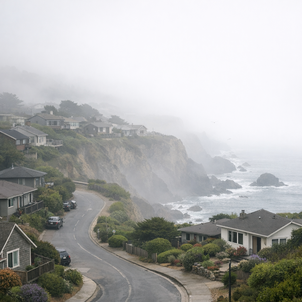
The Science Behind the Fog
Living on the San Francisco Peninsula, we’ve all noticed: Daly City has a reputation for fog and overcast skies. That comes largely from cool ocean waters off the coast, paired with warm, moist air moving in from the Pacific. As that air cools to its dew point above the cold water, it forms a marine layer—a low-altitude cloud blanket. Prevailing westerly winds then funnel this moist air inland, often through breaks in the coastal hills—especially the San Bruno Gap—bringing that familiar gray layer into many neighborhoods. A temperature inversion layer above traps the marine layer close to the ground, preventing it from dissipating. Areas closer to the coast tend to stay colder and cloudier, while those farther inland may see clearer skies above the fog line.
Seasonal Patterns: What Shifts You’ll See
Wet Season (Late Fall – Early Spring)
Rain typically arrives between November and March, bringing the vast majority of our annual precipitation. Winters are mild but wet, with regular storms and periods of heavy rainfall. Soil becomes saturated, creek beds swell, and hillsides—especially those with sparse vegetation—become susceptible to erosion and slides. Daylight hours are shorter, and fog still makes frequent appearances, though rain and cloud cover dominate.
Dry Season (Late Spring – Early Fall)
The months from May through September are usually dry. Sunshine returns in earnest, though mornings often start foggy near the coast. As the land heats up, the fog burns off, giving way to warmer midday and afternoon weather. The dry season also heightens wildfire risk: vegetation dries, and strong winds can fan flames. Meanwhile, with fewer storms, long-established patterns of water conservation and careful usage become essential.
Environmental Challenges & Local Resilience
Despite medium air pollutant exposure relative to other California communities, there are localized challenges. Diesel emissions, older housing with lead, traffic density, and pollution from nearby roadways like I‐280 contribute to health and quality-of-life burdens in certain neighborhoods. At the same time, Daly City is not formally “disadvantaged” in the state’s definitions, meaning it doesn’t face extreme pollution levels across the board. Still, that doesn’t mean the burden isn’t real for affected residents.
The city’s built environment—with a high percentage of hard surfacing, few trees in some neighborhoods, and limited open green areas—amplifies certain environmental risks. Lack of canopy cover reduces cooling, increases runoff, and raises the risk of flooding during heavy rain events. To address these issues, the city’s Project Green Space initiative and similar programs are planting drought‐tolerant trees, creating rain gardens, and promoting green infrastructure to absorb stormwater and improve neighborhood resilience.
What Residents Can Do
- Plant region‐appropriate trees near your home— even modest tree wells can cool yards and absorb stormwater.
- Use rain barrels or water‐wise garden designs to reduce runoff and lower water use during the dry season.
- Stay informed about air quality alerts—on days with higher pollution or heavy traffic, reduce strenuous outdoor activity, especially near major roads.
- Support local planning efforts for green infrastructure and coastal bluff protection—projects that guard against erosion, flood risk, and sea‐level rise benefit us all.
Daly City’s weather patterns and environmental setting are part of what makes this place unique. By understanding what shapes our climate and participating in collective efforts, we can maintain healthier, more resilient communities here in the city by the Bay.